


Accessible from the end of June to the end of October
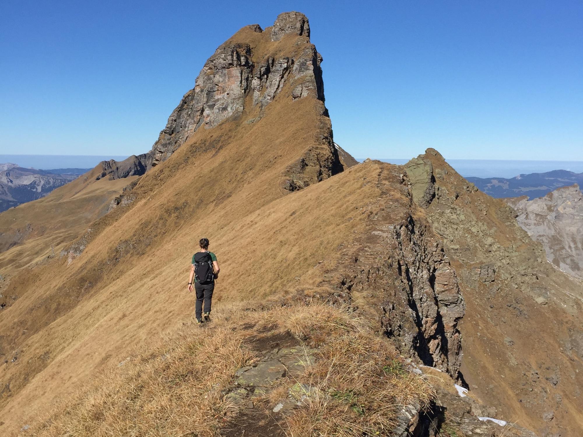
The challenging alpine route with a magnificent 360° panorama. The alpine route, which is very exposed, partly pathless along the ridge and only suitable for sure-footed hikers with a head for heights, starts from Planplatten via the three peaks of Läuber, Rothorn and Glogghüs towards Hochsträss. If you are in good physical condition, a detour to the Hochstollen is highly recommended.
Sure-footedness and good footwear are required for this hike.
Information on
- Start: Alpen tower mountain station, 2,250 m above sea level.
- End: Käserstatt mountain station, 1,840 m above sea level.
- Ascent: 1,030 vertical meters
- Descent: 1,430 vertical meters
- Length: approx. 12 kilometers
- Duration: approx. 5 hours and 30 minutes
The Rosenlaui mountaineering school also offers guided tours:
Contact us
Bergbahnen Meiringen-Hasliberg AG
Twing 365L
CH-6084 Hasliberg Wasserwendi
Twing 365L
CH-6084 Hasliberg Wasserwendi


